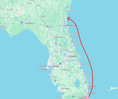
May 29th Leaving Fort Lauderdale
We expected it to take a week, tops. Leave Fort Lauderdale and draw a line to Narragansett Bay and there you go.
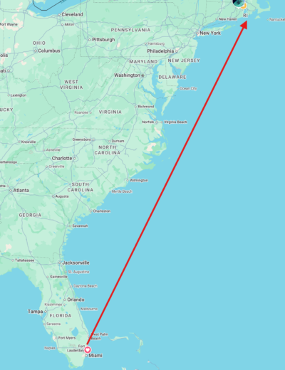
But sometimes the simplest plan ends up not working out. And that’s life on a boat passage sometimes. So we make plan A, then B, then C; Todd often has plans A-H laid out in his mind.
We left Hillsboro Inlet, just north of Fort Lauderdale with two new friends aboard, Tom and Fred. We organized our watch schedule. Being on watch is when you are at the helm and watching out for things that could happen. You’re steering, you’re responding to changes in the wind and therefore changing the position of the sails, or even which sail we’re using. Sailing offshore like this is a 24 hour operation. There isn’t a place to anchor when land is out of sight, as the water is too deep for the anchor on its chain to reach the bottom anyway. So, we take turns.
So many sailors do this differently. Historically what we’ve done is we have 3 hour shifts on watch, but before your turn at the helm you spend 3 hours in support of the person on watch. So, while you’re in support you help that person in case they need a sail change, need a snack or a bathroom break, or even need some company so they stay awake. But on this trip we modified it a bit. Because everyone’s usually awake during the days, we had people spending 4 hours at the wheel without a support person formally scheduled—because everyone’s there to support. Then over night we do the 3 hours on support and 3 hours at the helm. I think I like this modification to the schedule better because it allows at least one person per day to have a whole day off to rest.
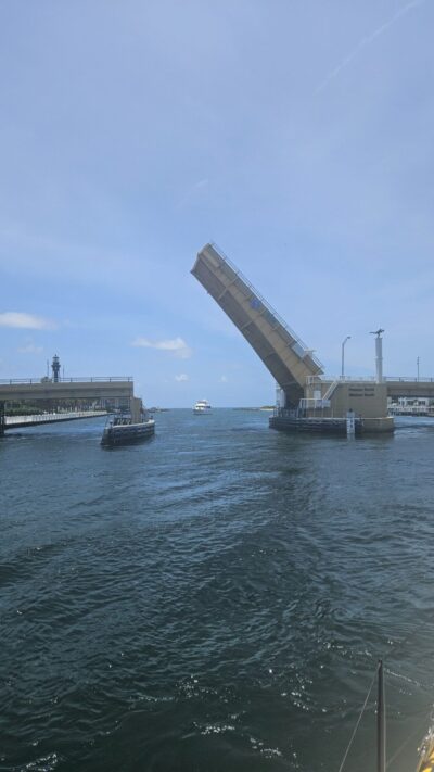
We did our safety briefing. We went over the plan. We went over the forecast. And then we waited for the drawbridge to let us out at Hillsboro inlet and out into the Atlantic Ocean.
It was smooth sailing as we cruised with the gulf stream along the Florida coast. Fred had brought a fishing pole and some lures, he cast it out in the wake of the boat and managed to attract a mahi mahi.
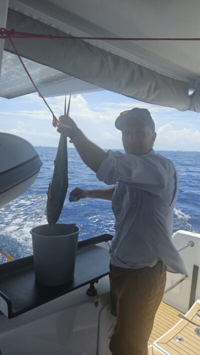
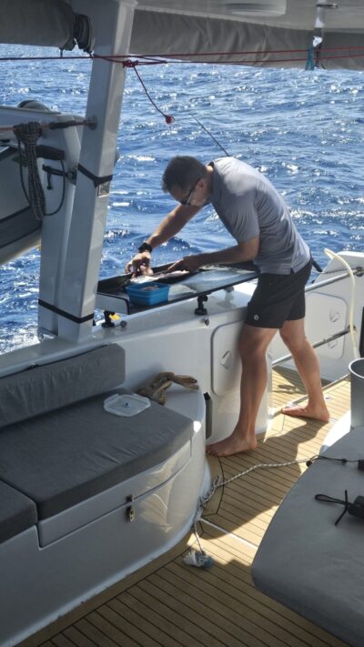
The next day he did it again. He and Tom gutted and fileted the fish and stashed it in the freezer.
Todd cooked it up for dinner for a few nights marveling over the free protein.
I was asleep when the decision was made. Todd was on watch and Fred was in support on a night watch. The wind had turned against us. On the radar they could see storm cells surrounding us. Over the course of the night they only made like 20 miles of progress, when we had made like 80 the night before. We were bashing into the wind and not getting anywhere, which as you can imagine is pretty frustrating. When I woke up we were heading west, directly for Georgia just north of the Florida/Georgia state line when we ducked in to anchor at St. Mary’s to take a rest.
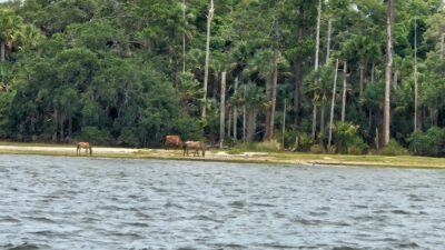
We anchored just inside the channel to the west of Cumberland Island. Then we saw something moving on the island. Then we saw a lot of somethings moving on the island. Wild horses!
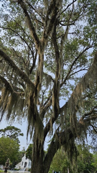
We dinghied into town to get some supplies—Todd likes ice in his drinks so we went on a quest for ice. Before the sailing trip I thought to buy an insulated grocery bag so we could carry perishables longer. We ended up walking in the Georgia heat to a convenience store about a mile up the road to get ice and some cold drinks. Todd called an Uber to drive us and the ice back to the dock.
This was by far the weirdest Uber experience I’d ever had. Actually, wait, no I’ve had some super weird Uber experiences. The first was when I was at a conference in Tampa and I was outside my hotel waiting and a woman who was also going to the conference just sat down in my Uber and refused to get out. The driver was not an English speaker so she did not intervene. On the way I managed to learn this woman’s name and she even gave me her business card. This made it a lot easier to report her to Uber for stealing a ride. She never even offered to pay for any of it.
That same night I rode in another Uber on the way back. The driver then proceeded to tell me all about the infections she’d gotten from her breast implants, in excruciating detail.
But this experience at St. Mary’s was also super weird. Normally an Uber driver shows up and they are the only one in the car, right? That’s generally how it works, this way they can save the seats for the riders. Nope, not this guy. He brought along his wife and child. So there was only 1 seat in the car for 4 of us. The guy offered to leave his wife and child at the store so we could all ride, which was even weirder. We said no, not wanting to put his family out. So we sent the Uber away and walked back to the dock in the Georgia heat hoping that the ice would keep. Thankfully it did, thanks to my insulated bag.
The next morning we set out again, hoping for better conditions. Todd puzzled over the maps and the PredictWind forecast, it wasn’t going to be that much better. We ended up having to go in at Charleston to wait out another weather window. At this point we’d been underway for 4 days. Fred left us to fly back home and go back to work, so it was just me, Todd and Tom.
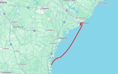
We docked at the fuel dock at Safe Harbor to top up the fuel and the water tanks. While they were doing that, I had a job interview. I knew before we’d left Florida that I would have one, and in this crappy job market you never leave an interview on the table! So I pawed through the racks at TJ Maxx trying to find a suit jacket to wear to my video interview. Apparently nobody wears suit jackets in the Florida summer because I had the damnedest tine finding one. There was a white one with black pinstripes that was a size too large, and another one that was hot pink that was a size too small. My friend Allie declared, over text, that the hot pink one would only be appropriate if my interview was for a cocaine dealer job and wouldn’t work because my hair is too short to form a low greasy ponytail. White with black pinstripes it is.
Internet access while aboard and while offshore is done with Starlink. So the boat has a wifi bubble around it that we can access and do things like video calls for job interviews, and download or stream content. Though offshore we try to avoid streaming just so we can be sure we have the bandwidth for emergency use. I did the interview, and I thought I crushed it. Sadly I didn’t get the job, however.
The three of us set out once again. Though this time we knew that we didn’t have the weather window to be offshore. Fortunately there is a thing called the Intracoastal Waterway (ICW) that runs from Norfolk VA all the way to Brownsville TX. It looks like a wide canal, and is sometimes rivers, and there is a designated channel you can stay in to transit the ICW.
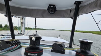
The thing I liked about the ICW was how scenic it was.
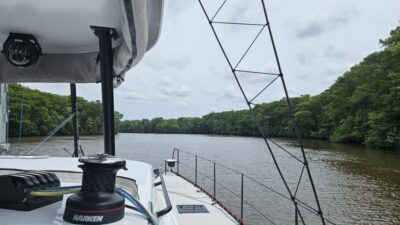
We traveled through forests, backyards of mansions, towns, under bridges, etc. The thing I didn’t like was how slow it is. Because you’re traveling in a narrow channel it requires hand steering at basically all times. When you’re offshore and just pointing in a direction you can just set the autopilot and oftentimes you won’t have to mess with the sails for a few hours. When you’re offshore, obstacles are few and far between. Just check the map and look for anything that might be in our path, and look for other ships, which honestly are also few and far between.
The ICW is way different than all that. It’s a pretty narrow channel that you have to stay in. There are boats transiting in the opposite direction that you have to avoid, there are some behind you that try to pass you. It’s well marked you can always tell where you’re supposed to be. But the biggest problem is the marks are not lit for night travel like navigation buoys are when you enter a harbor. So we could really only travel at night which reduced our progress to about 60 miles per day strictly under motor power.
The biggest thing I didn’t like about transiting the ICW was the bridges. The bridges over the waterway aren’t all drawbridges. There are some of those, but most of them are fixed bridges that are all at 65 feet off the water. Of course that height varies depending on whether it’s low or high tide, and even though the waterway is inland it still connects to the ocean periodically. So the water rising and falling with the tides in the ocean also happens in the ICW. At high tide the water level is higher, which also means that the distance between the water and the bridge is smaller. Our mast is 64 feet 9 inches. We are just 3 inches shy of most of these bridges, which is incredibly nerve wracking when going under a bridge. There was one bridge we went under at high tide, and the view from the deck was downright terrifying watching us go under wondering if our mast would slam into the bridge.
We passed Myrtle Beach, SC and kept on north until we finally departed the ICW at Wrightsville, NC. My brother is a web cam aficionado, and because he vacations in the Outer Banks, NC every year he looks up the cameras that monitor the surf and the ICW. He logged into them from his workplace in Connecticut and watched us pass certain points. Later on he chatted in our WhatsApp that everyone at his workplace was in the conference room watching on the big screen as he switched from webcam to webcam on the North Carolina shore.
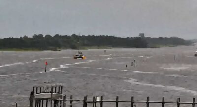
After all that transiting on the ICW we went outside again, and we were still south of Cape Hatteras, NC.
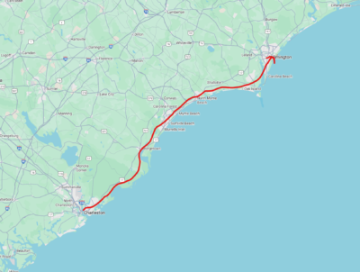
This area can be tricky because the weather can whip around the point and there are lots of obstacles closer to the shore. We went around it and headed for Norfolk, Virgina in the Chesapeake Bay.
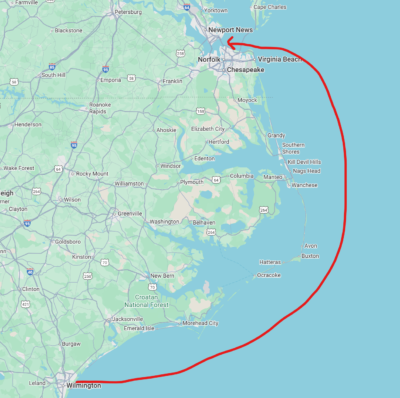
When I woke up, because offshore sailing is basically a repetition of eat-sleep-sail, I woke up just before sunrise and Todd and Tom were on watch. Norfolk is a massive navy base and we passed navy ship after navy ship on our way from the Chesapeake Bay Bridge Tunnel all the way west to Norfolk. Once we arrived, Tom would be leaving us and another new friend Steve would be joining us.
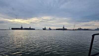
On our first day in Norfolk, a Sunday, we learned that Harborfest was still going on. We kept hearing on the VHF radio the night before about navigation restrictions around Norfolk to accommodate the fireworks that were set off on Saturday night. It was the last day of the festival, so it wasn’t as busy. There were a few bands warming up on the stage, and a line of food trucks which was where we got lunch after Tom picked up his Uber at the dock. We caught an Uber of our own and went to a supermarket to stock up on a few things. The next day Todd worked and I did laundry, tried to chill, and cleaned in preparation for Steve’s arrival.
When Steve arrived he and I walked to a supermarket to get some foods that he would like. We had 2 nights in Norfolk where we had a fantastic Indian dinner as well as a pizza night. After the pizza night we went to a bar to wait out the rain and listened to the end of a trivia night and guessed at the questions while we hung out. The next day we would set out for Rhode Island. Home.
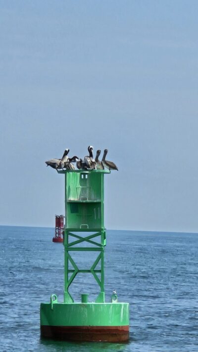
On the way out we crashed a pelican party.
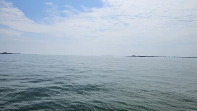
Every so often when you see those shows on TV about engineering marvels an they talk about the Chesapeake Bay Bridge Tunnel. This is what it looks like. You can see where the bridge dips into the water on either side, and there's a tunnel underground to allow boats and ships into the Chesapeake Bay.
The ride to Rhode Island was uneventful, thankfully. It was around 3 AM when we went under the Newport Bridge, and anchored to the west side of it to get a solid sleep.
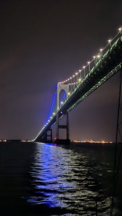
The next morning was gray and drizzly with zero wind. We motored north to East Greenwich Cove and were at home on June 14th, a total of 16 days at sea.
BJ Knapp is the author of Beside the Music, available for purchase here. Please sign up for the Backstage with BJ Knapp mailing list to get updates on events, signings, dog pictures and so much more.
